

Multi-temporal Analysis
We have several projects in this area, involving the development of computational and analytical techniques to process satellite time series data for the assessment of changes to natural resources. We have been examining changes to:
- Forest Ecosystems: R.Wynne, V. Thomas, D.-Y. Kim
- Agricultural Systems: Y. Shao & J. Campbell
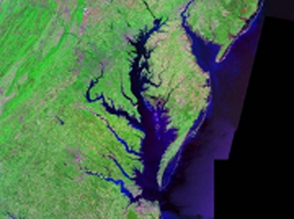
- Wetlands: R. Wynne & V. Thomas
- Minelands: R. Wynne
We have also been engaged in multi-scaled modeling incorporating monitoring data from the PINEMAP network with spatially-explicit historical and predicted future climate data to assess alternative forest management approaches and the impacts on carbon sequestration and resilience to disturbance: R. Wynne & V. Thomas
EXAMPLE: REMOTE SENSING OF CROP RESIDUE
Zheng, B., J. B. Campbell, G. Serbin, and C. Daughtry. 2012. A validation of the minNDTI strategy in the United States. Journal of Soil and Water Conservation. Vol. 68, pp. 120-131.
Zheng, B., J. B. Campbell, and K. M. de Beurs. 2012. Remote sensing of crop residue cover using multi-temporal Landsat imagery. Remote Sensing of Environment. Vol. 117, pp. 177-183.
These images illustrate applications of a strategy for using sequential Landsat data to determine the tillage status of individual fields, identifying which ones have been cultivated using conservation tillage, and which ones using conventional tillage. The distinction is important because conservation tillage reduces soil erosion, nutrient loading in streams and water bodies, and improves the soil structure. Prior to this research work, remote sensing techniques were not effective for this task, and field survey techniques provide only very rough approximations, on a county-by-county basis. Her insight is that analysis of sequential imagery, collected at the time of planting, provides accurate assessment of tillage status, on a site-specific, field-by-field, basis. Her work will greatly improve our understanding of water quality in agricultural drainage basins.